Political Map Showing Major Regions and Prefectures
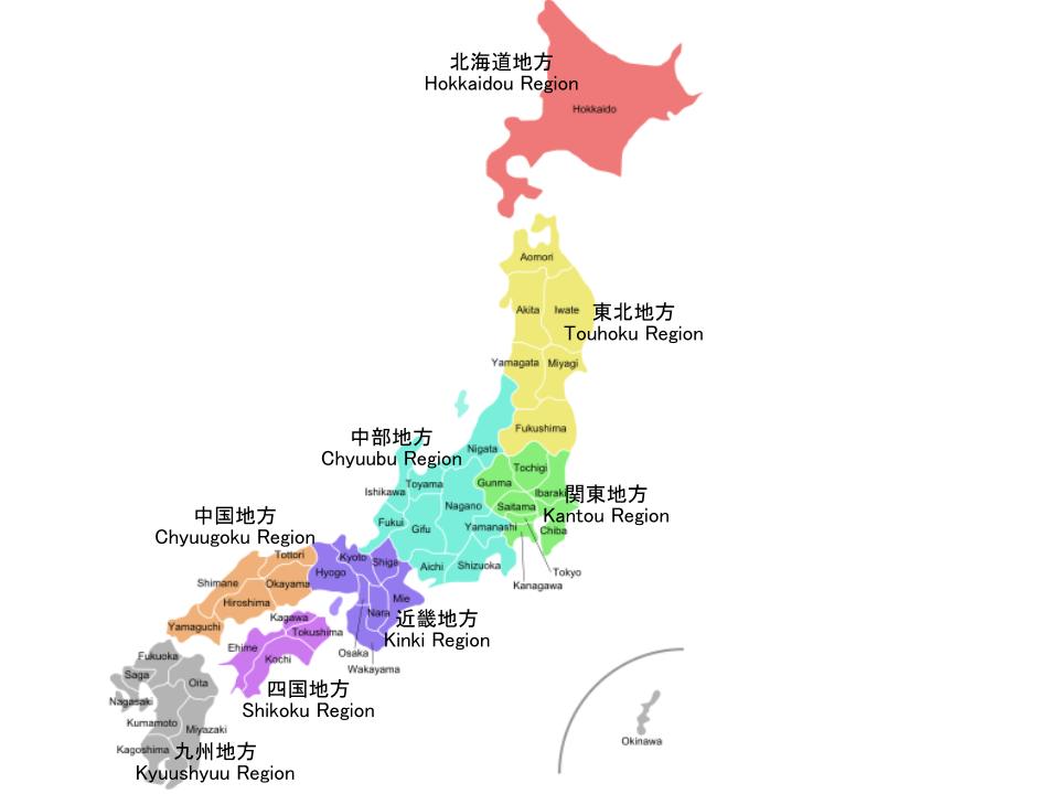
In this map, we see all of Japan.
It is color coded by major regions (labeled in both Japanese and Romaji*). These regions are important to learn when studying Japanese history. The regions are often used when discussing social studies with natives.
Inside each colored area we can see the prefectures of Japan (Labeled in English, not Romaji)*
*the difference between English lettering and ローマ字 is that English does not respect double consonants and elongated vowel sounds. For example: Japanese - 東京; Romaji - Toukyou; English - Tokyo
